Call For Paper

Volume 10 Issue 3

March 2024

Submit Paper Here
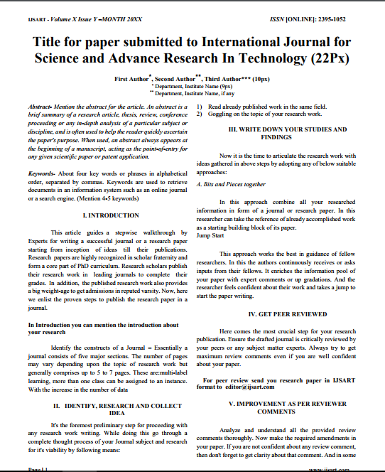
Download Paper Format
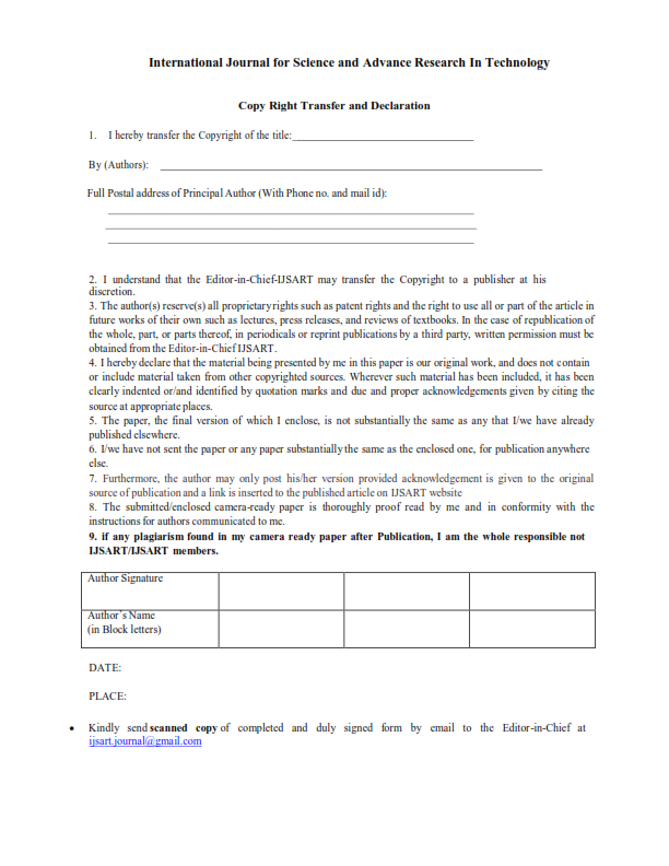
Copyright Form
NEWS & UPDATES
News for Authors:

We have started accepting articles by online means directly through website. Its our humble request to all the researchers to go and check the new method of article submission on below link: Submit Manuscript

Follow us on Social Media:

Dear Researchers, to get in touch with the recent developments in the technology and research and to gain free knowledge like , share and follow us on various social media. Facebook

title

WATERSHED MANAGEMENT OF BINDUSARA RIVER USING QGIS

Author(s):

Gadhave Pallav Suresh

Keywords:

Watershed Management, QGIS, Ground Water, DEM, Remote sensing.

Abstract

Groundwater is one of the most precious natural resources on the world, since it serves as the foundation for all human activity. Although water shortage has a negative impact on a region's related to social and environmental activities, this issue may be handled to a degree by recognizing groundwater resources and evaluating the quality of the water in those zones throughout their useable time, i.e. post-monsoon to pre-monsoon. This contributes to the uniform distribution of the water demand load, allow for the most effective use of the region's water availability. Due to their ability to identify many ground features indicative of the presence of groundwater, GIS systems and satellite pictures are widely used in groundwater research. The processing and analysis of remote sensing data is a fast and cost-effective technique for identifying and studying groundwater availability in the study area. Additionally, quality checks on ground water ensure that it is suitable for a wide range of uses throughout the course of its useful life.

Other Details

Paper ID: IJSARTV
Published in: Volume : 8, Issue : 10
Publication Date: 10/6/2022

Article Preview


Download Article